Previous editions
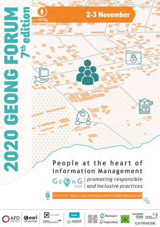
GeOnG 2020
Despite the challenges posed by the COVID-19 pandemic, the 7th edition of GeOnG was held from November 2 to 3, 2020, marking the first time in its history that it was held entirely online. This transition to an online format was a resounding success, with over 370 attendees representing more than 250 organizations. The advantage of this format was the ability to record the content of programmed sessions, making the vast majority of this edition’s sessions accessible via our YouTube channel.
CartONG has chosen to focus the 2020 edition around the following main theme: People at the heart of Information Management: promoting responsible and inclusive practices
Recent decades have seen exponential growth in the use of digital solutions to improve humanitarian aid and development. However, this “data-driven” approach raises concerns about its fit with humanitarian values and the barrier of access to technologies. In addition, it can create divisions between Humanitarian Aid and International Development actors and vulnerable populations, and raises ethical questions linked to decision-making based solely on quantitative data.
To counter these challenges, various approaches have emerged, promoting the inclusion of vulnerable populations, the development of a data literacy culture, and the integration of best practices in data management and digital development. The 2020 GeOnG forum explored how Information Management technologies and practices can truly be people-centered, integrating the rights of people and communities in all their diversity. Discussions focused on data responsibility and inclusion, and the challenges faced by humanitarian and development organizations in achieving this, while proposing solutions.
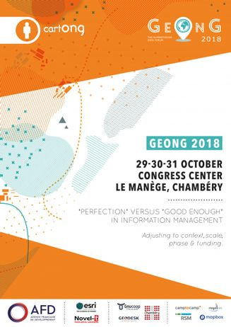
GeOnG 2018
The 6th edition of the forum took place from October 29th to October 31th at the Congress Centre Le Manège in Chambéry, France and gathered 180 participants from more than 90 organizations. Discover here the after movie of this year’s edition!
CartONG chose to center the 2018 edition around the following key theme: “‘Perfection’ versus ‘Good enough’ in Information Management: Adjusting to context, scale, phase, and funding.”
The ‘good enough’ approach had drawn more attention in the fields of humanitarian aid and international development because of the possible effects it may have on individuals, equipment, procedures, or activities. Why might creating ‘good enough’ information management solutions occasionally be preferable to going for perfection?
We held discussions about how to customize information management solutions for a specific context, scale, phase, or funding source, while also paying attention to key stakes in the industry like responsible data practices, capacity-building, interoperability of data & systems, or user-friendly and human-centered tool design.
Older editions
GeOnG 2016
For the first time, the GeOnG forum 2016 lasted three days, from October 17 to October 19 at the Manège (Chambéry’s Congress Center). The fifth edition of the GeOnG forum was centered around the theme “Impact of humanitarian IM: Lessons from the past, shaping the future”.
The impact of all the new technologies we have helped introduce in the humanitarian sector (GIS, GPS, mobile-related solutions, satellite photos, drones, etc.), as we were preparing to mark CartONG’s tenth anniversary, was something we wanted to talk about. Do they actually benefit our field partners more than we do? How can we improve our use of technology by utilizing the lessons learned over the last several years?
Around these central issues—namely, who would conduct humanitarian surveys in the future—a number of themes were covered. How can mobile data collecting (MDC) solutions incorporate analysis tools? Are local technical communities a new partner for humanitarian organizations? In addition, we looked back at the study on humanitarian drones and on the “coordinated data scramble” for improving already-existing data.
GeOnG 2014
The 4th GeOnG forum, with the main theme “Turning data into actionable knowledge,” was organized by CartONG in Chambéry, France, on September 22–23, 2014. More than 140 people from 70 different organizations attended.
We were In a situation in which massive volumes of data could become available within hours or days of the start of an emergency, and many NGOs released their data publicly. This was due to the abundance of data gathering technologies and methods to access and store data. Because of this, being able to interpret data and transform it into useful knowledge had become an essential talent.
Therefore, the GeOnG 2014 offered a chance to learn more about data analysis software and to talk about both positive experiences and problems.
GeOnG 2012
The third GeOnG forum, was held on November 5 and 6, 2012, at the Le Manège Convention Center in Chambéry, France. It gathered almost 130 participants coming from 60 different organizations and 11 countries.
The main theme for this edition, “From the cloud to the field”, emphasized the prominence given to online data storage (and mapping) systems, or the “cloud”. They enable the humanitarian experts to gather and analyze the data on the ground in conjunction with the modern mobile (GPS, smartphones) and aerial (drones, remote sensing) data collection technologies.
By enabling a decentralization of the use of geographic data and granting everybody access to the information, it democratizes the use of data.
GeOnG 2010
The second GeOnG forum was held in Chambéry, France, at the Association Quartier Centre-Ville on September 23 and 24, 2010. It gathered around 60 participants.
This edition of GeOnG focused on gathering data in the field using mobile devices that are synced to databases for quick dissemination via web services. With the theme “From the ground to the screen,” we wanted to examine how new mobile devices were quickly becoming crucial to the work of international solidarity organizations.
The traditional methods of data collection (paper forms) have a number of drawbacks that mobile devices are able to overcome. Making urgent decisions in the humanitarian sector is hampered by intermediaries, errors, information loss along the way, and the time it takes to acquire and process data. Even though the terminal seems a little pricey to purchase, we all gain efficiency. The GPS is good, but we need to go further to manage the attributional information.
GeOnG 2008
On September 25 and 26, 2008, the first GeOnG forum was held in the Maison des Associations in Chambéry, France.
The main goal was to allow GIS specialists to get to know one another, meet, and share working techniques in order to establish a network of individuals using geomatics in a humanitarian and development context.
The main topics covered included :
- Collect data and manage information attributes
- Information quality
- Sharing inter-sectorial information between NGOs
- Specialization in access to information
- Challenges posed by the use of geomatics for NGOs
- Use of geodata to optimize decision-making processes