Mapping for an urban improvement project
About
Description
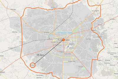
CartONG provided technical support in mapping and mobile data collection to the local NGO YAAM Solidarité (an association specialized in habitat reconstruction using local materials) as part of an urban improvement project in Boassa – an informal settlement located on the outskirts of Ouagadougou.
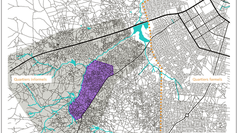
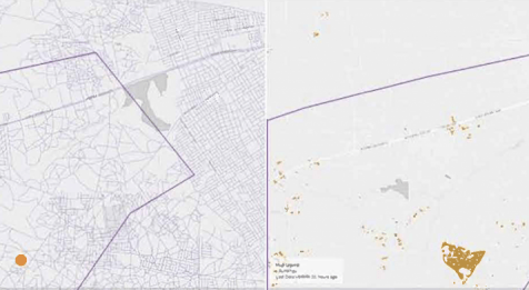
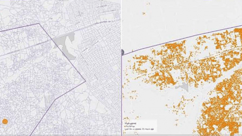
In the first phase of the project, CartONG organized eight mapathons in France, involving over 140 e-volunteers, to map over 46,500 structures and 418 kilometers of roads on OpenStreetMap. The data was validated by experienced volunteers to ensure quality. After this first phase, the Boassa district was finally visible on the map, which was enriched during the second phase in Ouagadougou.
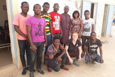
The second phase involved completing the Boassa map with the support of Yaam Solidarity members and the local community, setting up a first database of the area. Free and open-source tools were used to train participants, especially local residents, and to encourage their involvement. Participants were trained in using OsmAnd and OSM Tracker for geographic data collection, as well as Kobo Toolbox for conducting household surveys. Several field trips also made it possible to collect more than 150 points of interest (roads, water points, community facilities, etc.) which were then added to the OSM database.
The data collection workshops promoted collaboration, knowledge, and ownership of the project. All data produced during the mapathons and field data were added to OpenStreetMap, a free and contributory platform. Yaam Solidarity members were trained in data manipulation to continue mapping their neighborhood and enriching the database independently.
This project made the inhabitants of the informal district of Boassa visible, as well as the economic activities and initiatives that exist locally. It also highlights other more problematic aspects such as the lack of access to basic services, the risks in terms of accessibility of emergency services, or the evolution and changes in public spaces.
At the same time, the Yaam Solidarity association, which works on the spot, could use this map to call out public authorities or potential donors to address the existing issues in the area. The map was also used to raise awareness among residents to better plan the urbanization of the district, protect themselves from high-risk areas or preserve road spaces in an effort to ensure a certain quality of life in the district.