Impact analysis of sand winds
About
Description
Madagascar’s Grand-Sud, made up of three regions including Atsimo Andrefana, Androy and Anosy, is one of the country’s poorest areas and has faced a serious food and nutrition crisis due to two consecutive drought episodes in 2020 and 2021. This was compounded by an exceptional phenomenon of sand winds, which dried out crops and destroyed plots by covering them with sand, further aggravating the situation.
CartONG supported ACF in quantifying more precisely the extent of the impacted areas and identifying where agricultural plots were most likely to have been silted up, based on the analysis and interpretation of freely available satellite data using its own methodology.
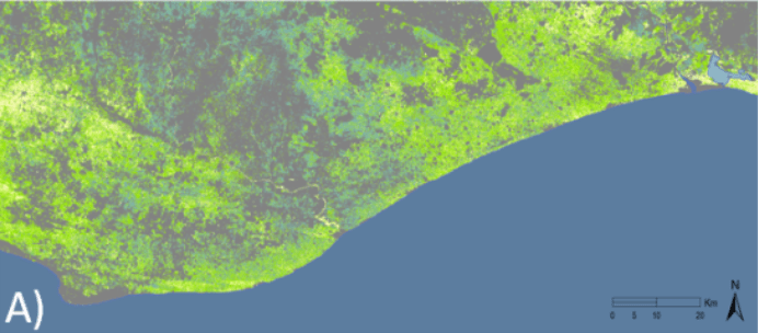
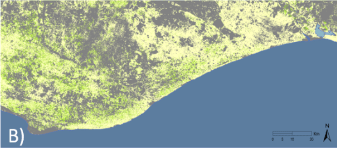
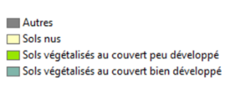
The satellite data used in this study (Sentinel-2, Global Land Cover, Proba-V, CHIRPS) enabled us to objectively observe a vast area and compare the state of agricultural land between 2018 and 2021. A comparison of Sentinel-2 images acquired in February 2019 and February 2021 showed that vegetated areas had largely decreased, while bare ground (or sparsely vegetated) areas had largely increased between February 2019 and 2021.
A vegetation index (NDVI) measuring vegetation cover and crop vigor on agricultural plots was also studied. Analysis of the evolution of this vegetation index between January 2018 and April 2021, showed an atypical evolution between September and November 2020 (decreasing index values instead of a growth phase), and abnormally low values for the months of January and February 2021. These abnormally low values testified to the deterioration of vegetation on farmland and the reduction in areas under cultivation.