Response to the Ebola epidemic in West Africa
About
Description
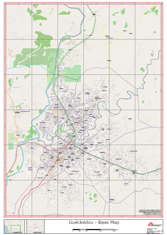
In March 2014, a viral hemorrhage broke out in southern Guinea, near the town of Guéckédou. The virus, identified as Ebola hemorrhagic fever, spread rapidly through the region, affecting neighboring countries. In the early days of this health crisis, Médecins Sans Frontières (MSF) deployed a team to assist the staff on the ground.
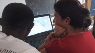
In support of the epidemiological team, MSF-CH also deployed a dedicated geographic information systems (GIS) officer from CartONG. At that time, although MSF staff had been using maps and GIS for many years, the use of a dedicated GIS person in the field was still very rare.
An initial 8-week mission in the Guéckédou region made it possible to start mapping areas that were previously unmapped. Between March 2014 and May 2015, several CartONG geomaticians have been involved in field missions, for a total of 16 missions in Guinea, Sierra Leone and Liberia, producing over 800 maps. These included reference maps showing roads, landmarks and villages, but also operational or thematic maps visualizing population density or disease spread.
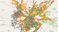
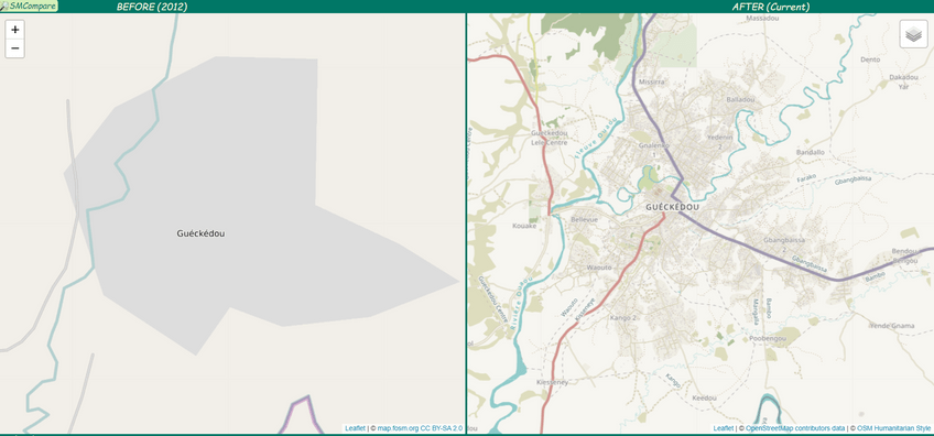
This colossal mapping task was the fruit of a fine cooperation between the GIS specialists deployed in the field by CartONG, and the OpenStreetMap (OSM) volunteer community, coordinated by HOT. Indeed, all the work carried out in the field would not have been possible on this scale without the support of OSM volunteers, who helped to remotely map roads and buildings in the areas affected by the epidemic. The town of Guéckédou, for example, was virtually non-existent on OSM and other map providers before the epidemic began, as can be seen in the “before-after” image below. In March 2014, in 5 days, 244 volunteers mapped over 90,000 buildings in the crisis zone.
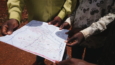
The fieldwork, meanwhile, enabled us to collect attributes and contextual information not visible on satellite images, such as the names of places (essential for locating Ebola cases) or the identification of infrastructures (health centers, schools, markets, etc.) and to feed this information back into OSM.
The data, contextual maps, location identification and weekly mapping of confirmed and suspected Ebola cases have enabled MSF staff to better understand the intervention environment, monitor the epidemic’s progress and consequently respond to the epidemic more quickly, in a more targeted way and with fewer resources.